Gert P
-
Posts
3 -
Joined
-
Last visited
Content Type
Profiles
Forums
Events
Gallery
Downloads
Everything posted by Gert P
-
FSUIPC Client DLL for .NET - Version 2.0
Gert P replied to Paul Henty's topic in FSUIPC Client DLL for .NET
Paul, I'm stuck again with a little challenge. I'm trying to get the map display working. I'm using a navdata file so i can update to the lates navdata cycle. The point is that all waypoints, stations and airports in those files are defined as following: SCH,AMSTERDAM SCHIPHOL,109.150,0,1,195,52.313311,4.798658,-11,EH and now i'm having trouble to get the positional numbers back to a FsLatitude cand FsLongitude point so I can calculate the distance between the station an my current position. Is there a way to convert these values back to the same values as i would get from the Fsuipc offset. Or am i totally wrong and should i use anther method? Sorry Paul, i just saw the light in your FSUIPCClientExample. With regards, Gert -
FSUIPC Client DLL for .NET - Version 2.0
Gert P replied to Paul Henty's topic in FSUIPC Client DLL for .NET
Paul and Pete, Thanks for the almost immediate response. It seems sometimes things are so easy ;-). The Signed byte solved the problem. And you solved another problem: me not knowing the concept of Signed and Unsigned, I now got some values with wich I can get the needle to work as it should !! Will keep you posted with some progress. Thnx regards Gert -
FSUIPC Client DLL for .NET - Version 2.0
Gert P replied to Paul Henty's topic in FSUIPC Client DLL for .NET
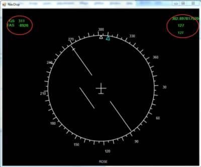
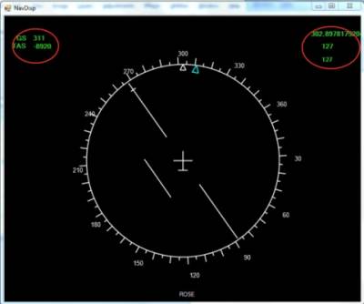
Paul, First I want to compliment you for developing this fantastic DLL. I'm a asp.net developer by profession and i'm writing my own Fokker 70/100 System software. I got started when i found your .net dll, cause there simply nothing around for a Fokker aircraft (all boeing guys i Guess) I'm currently working on the ND and there is something i dont really understand. According to the programmers guide for FSUIPC the offsets 0C48 and 0C59 must give a value between -127 and 127. When i dim this value : <code>Dim _nav1LocNeedle As Offset(Of Byte) = New Offset(Of Byte)(&HC48)</code> i'm getting values i don't understand, theres nothing in the negative returning ;-) What am i doing wrong, any ideas? I attached a screenie (offcourse its much bigger in real life) of the work in progress, and there are values on it that are debug values for me. ( The two values of 127 are the real and calculated values for the needle position) grtz Gert Polkerman