

canuck21a
-
Posts
338 -
Joined
-
Last visited
Content Type
Profiles
Forums
Events
Gallery
Downloads
Posts posted by canuck21a
-
-
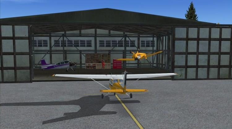
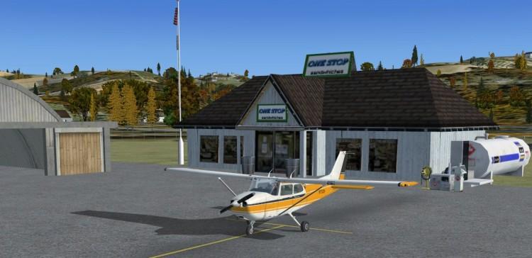
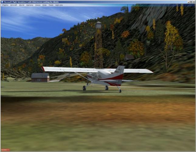
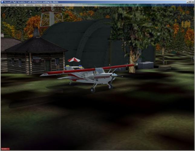
Thanks for the good words. Dexterville is a collaboration between Joe Watson and myself. Joe created the runway, parking lot and the entry road from the highway. Joe also did the highway traffic. Some of the objects like the water tower are Joes creation, I merely used Instant Scenery to place these items in the approximate location of the FS9 Dexter's B&G and Raptor's Pool hall. Alas, Joe still has the pool hall but Dexter's has turned into the little restaurant on the corner. I haven't discovered the art of putting sounds into the scenery, if I do, there'll be some music from the juke box in the restaurant.
Please forgive my lack of knowledge about Joe's involvement. If you read this Joe, please accept my thanks.
I did look in the zip file but could not see a 'readme' file that would normally identify the author and/or collaborators.
-
Once again I am given to extending my thanks to the author, Bjorn for his hard work and sharing.
Not too far away from Happy Valley is a dead-end valley.
When approaching it is a good omen to be singing one of the olde hymns:
"Swing low sweet chariot....."
-
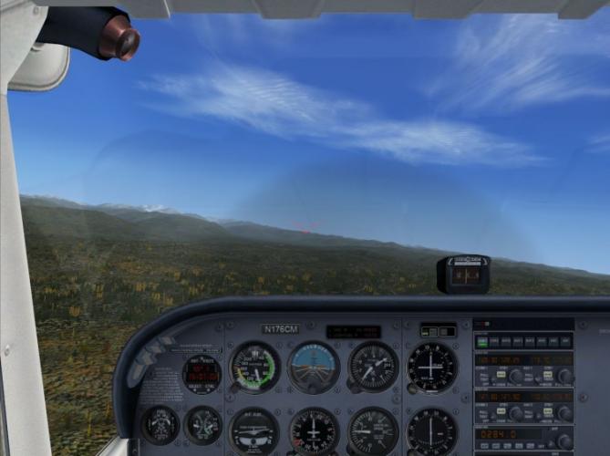
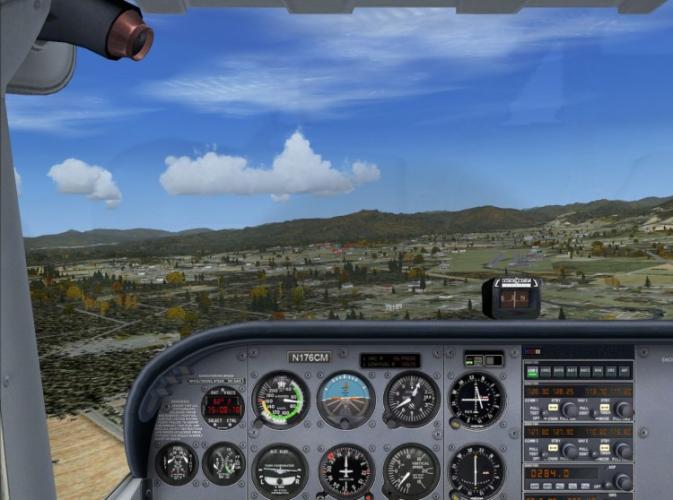
Before I go too far I wish to thank the author (Dexter) of this scenery add-on. I had a chance to visit briefly today and took a few pictures. These are processed into a panoramic image looking towards EFC and then progressing to the right.
Next visit I am hoping to find the Bar & Grill :lol:
-
Time to check Puppy's latest post...looks like maybe FSX will be part of the excitement.
-
Not given to misery and wanting to be part of the overall picture until Emma FSX or EmmaX or whatever her name might be, we have conjured up a suitable aircraft with propellors that should provide suitable take-off and landing capabilities even inside a Puppy Travel Cage... 8)

-
Well,
That is a hard one to answer.
Some time ago, well before FSX was around I tried FS Commander and before that I had something called Moving Map back in FS98 days (or was it FS2000 :?: ).
I eventually decided that FSNav was the best option for me in terms of planning and functionality but the fact that it was limited to the local PC was a limitation in terms of a moving map.
That problem was solved in a simple way. Use two computers with one having FS Commander as a moving map. Seeing others was not an issue.
More recently and effectively I use two computers; the old PC with FS2004 and FSNav. The moving map concept is solved using the remote server like FSHost as I can use FSNav with an FSHost server. Now I have more or less the best of two worlds. Of course there are some differences between FSHost, FS2004 and FSX in terms of the map that is displayed and the courses that might be created using landmarks (fixes) on the map but they are acceptable.
I can create plans with FSNav and use them as exported with FSX and also use the remote system with FS9 and FSNav as a sort of air traffic control. It works wonderfully and my Fs9 friends are quite happy wit the results.
I do have the newest version of FS Commander but it has its good points and not so good points in terms of a moving map. The map is unfortunately very poor compared to FSNav and what FSX shows in map view. It also has some issues with remote computers with particular problems with Vista. Methinks part of the issue is my understanding that VisualBasic is the underlying code in FS Commander and that has some issues if the code has not been updated to more recent versions of Visual Studio and the net framework but that is all up to the authors to deal with.
There is something new being developed but it is far away... like 2008 and I suspect that we may be having a new MSFS version by then.
So my simple answer is to use a second PC on a local network with FS2004 and FSNav for now and be happy with FSAddon and the FSHost servers. Your moving map has you and all of your friends there with you.
-
Count me in on the Fly - in maybe Cliff and I could go in groups like the Old Times :) Hey Cliff,wots up man? long time no talk 8)
Cliff will likely be there but at the moment he is vacationing in Spain.
-
Let me offer my deep appreciation for what you are embarking upon young Mr. Skinny Puppy.
Having done something akin to this for my other flight group (Tours) I can see the hours adding up
very quickly.
I have FSdesign35 and if you need a sign or something special created like that just let me know. I would be happy to help as the resulting bgl's can be used in Instant Scenery as well.
-Darryl
-
I am in with either FS2004 or FSX.
For me weekends are the only time available.
-
:(
I was looking forward to it too.
-
A Tribute to Emma and many artists and authors who have made my life much better.
As promised I have now completed the video/movie or what might be confused with a video/movie :oops: .
It is in Windows Media Format and can be viewed either by direct loading or by downloading and viewing offline.
The movie is about 13 minutes long and is about 150 Mbytes so downloading requires a high speed connection.
Due to its length I cannot load it to youtube using my basic account. :shock:
Here is the link:
http://www.drwightman.ca/files/uvac/video/The_Cushman_Caper.wmv
I hope you enjoy the fractured story, the FSX scenery and can appreciate the efforts that the authors have made to make our flight-simming experience more special.
Enjoy,
Darryl
-
Today was a good day. Rehab is going well. I have been off work for three months due to a very unfortunate accident that required major knee surgery.
As part of my rehab I have spent somewhat more time with FSX and add-ons since early October including a venture into FSX SP2 otherwise known as Acceleration Pack.. for now.
I have been most graciously responded to by one of our own long-time EFC companions Mr. Bill (what else should I call him?) and have spent considerable time working out the bumps between what my sim does and what the expectations of the original artist might have suggested (this leaves plenty of latitude for variation). It is simply amazing how many different new applications are now available to help the FSX user explore and modify their little or growing world. Learning how to do these things is half of the battle and every small victory over the terrain or landclass beasties is a time to celebrate with maybe some diluted #5 (or maybe not so diluted but I digress).
Earlier this month I posted two image based dissertations on a tour of the Pacific Northwest package that was released by Bill Dick and PhilC as well as Hood Canal by Mr. C Brisland (me thinks). Please excuse me if I miss an important detail...like who actually did this or who should be recognized for all of the add-ons. I am trying.. and I truly appreciate all of their efforts.
My earlier story spoke to something that would be coming.
( :shock: Don't go there)
Well...it is now becoming a reality. That reality requires several hours of editing and massaging..like my knee.
Once again I digress...Evelyn does a fine job on my knee and her manipulation of my important joint therein
although quite painful at times provides a degree of fulfillment that can only be understood by those who have undergone or are undergoing the physio and electric pads thingies after a full quad tear and surgical trim/overlap sewing session.
Someday I will tell you about the joys of staple removal :roll:
There will be a movie ! (Sorry..not of Evelyn and her manipulation therapy..personal video stuff only)
(Puppy..stop with the doggie stuff please.)
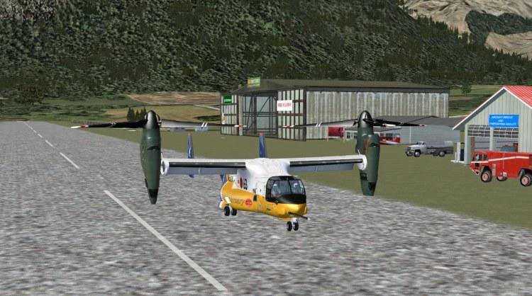
The Revenuers have descended upon Lake Cushman in search of the big moonshiner's hide-away. They have
new technology and are bird-like in their approach to fishing for the truth.
There is talk that there may be an insider providing details of where the #5 is being distilled while they wait for Fritz's the new equipment near the new field having the X designation.
Something about a lake in the mountains not too far from a pleasant valley. The Revenuers will get their prey.
Stay tuned while the news team puts it all together. Something about a U tube I understand.
-
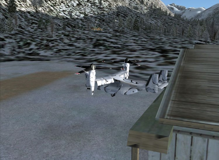
:)
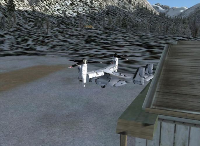
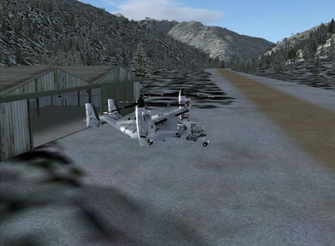
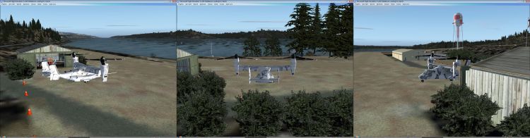
A visitor came to Lake Cushman today to show off the new Osprey.
The bird just sort of floated down from the sky :shock:
-
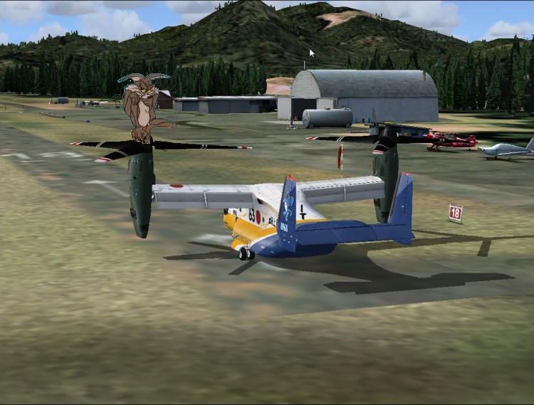
:shock: Draw ! Did somebody say Draw ?

-
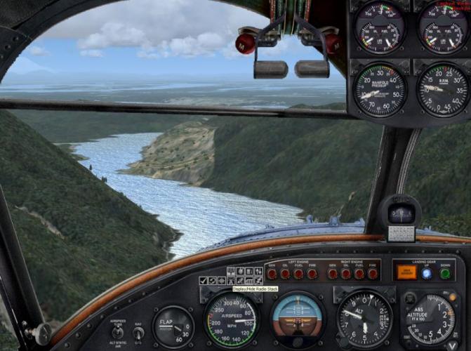
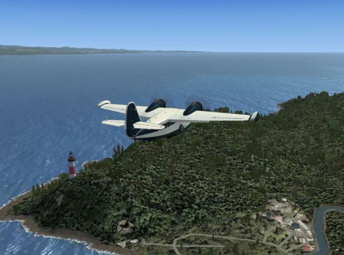
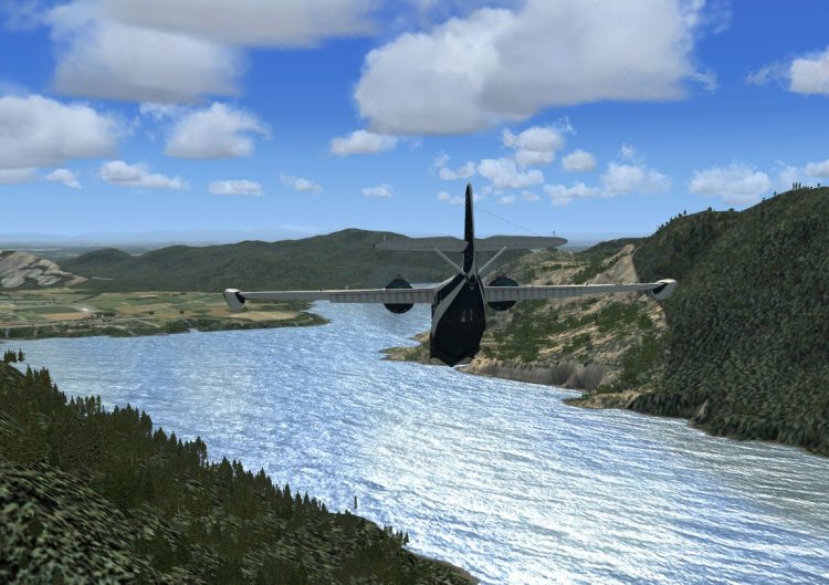
After flying south for a while we spotted what looked like Lake Cushman and started to descend ( Fig 30).
It is a good thing that this bird can slow down and drop quickly as we needed to get down through the pass (Fig 31)
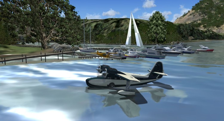
Our instructions were to find someone on a sailboat that would be waiting for us and then to proceed as directed. (Fig 32)
When I finally got he craft land-bound I was surprised to find that someone was waiting for my passenger :shock: (Fig 33)
Who was this guy and why did the club let him fly with me :?:
Once I find out then there may be another twist to the Pacific Northwest web of intrigue but that will be another day.


-
The day was getting on and it was time to consider taking my passenger back so I wandered off to see the mechanic.
The news was not good. The Cessna had overheated and needed some work done before it could be flown again.
I was a bit concerned but after going back to the office the despatcher indicated that they had a special delivery to make
and if I had been checked out on it I could use that to take my passenger back. The only drawback for him was that
he would have to find a way back from Lake Cushman to wherever he came from.
That suited me fine as it was an easy jaunt and I could hitch a ride home. Let the air club worry about the Cessna 8)
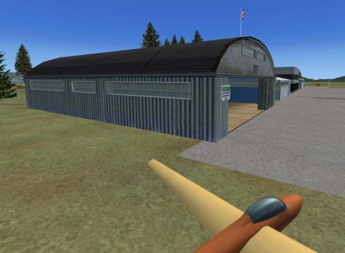
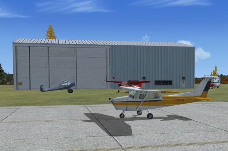
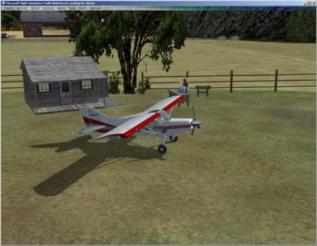
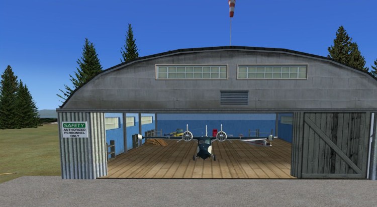
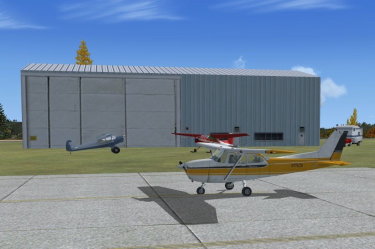
So I walked over to the hanger across the runway to see what the equipment was (Fig 24)..
and was I pleasantly surprised (Fig 25).
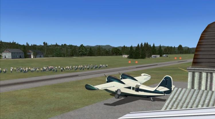
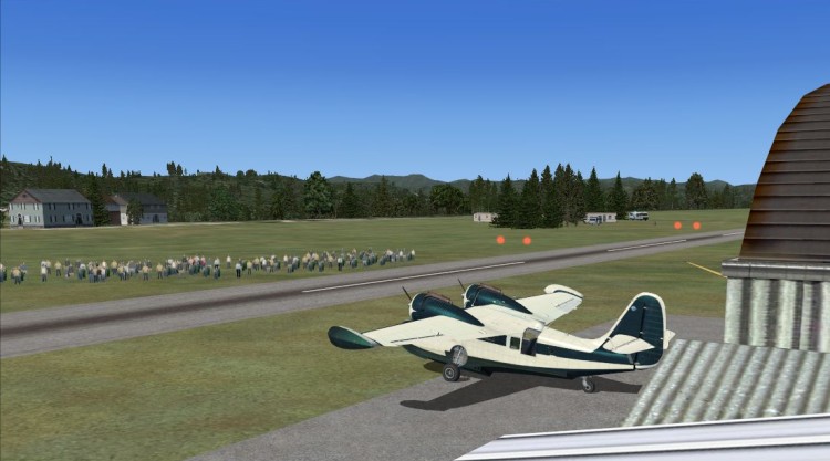
After the maintenance staff came and helped to move it out for a pref-flight check a crowd from the campsites came over to witness the event (Fig 26).
..cont'd
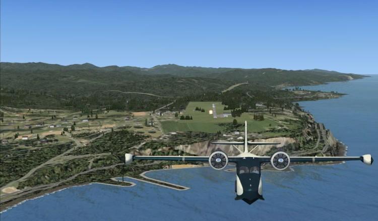
After all that was done andmy passenger was strapped into the right seat we took off and said goodbye
to beautiful Skeiu (Fig 27).
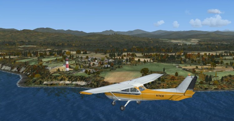
The plan was to fly East and almost to the airport near the river and then turn South. As we past by the light house on the other side of Sekiu we set our course to the East (Fig 28). We got near the airport and turned South and followed the river until we found a valley to follow (Fig 29).

-
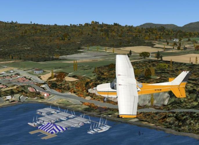
After turning left and back towards the ocean we could see a bit of Hobuck Lake (Fig18). I suggested to the slicker that we could fly by a nice marina near Ozette at the north end of the lake where he could rent a boat (Fig 19)
Just for fun I decided to take a left turn and visit a couple of sights on the coast just West of Ozette and fly up the coast for a while (Fig 20). After a while I spotted the big bay and thought to fly over the end and down towards the water to surprise my slicker friend. As Scotty said to Cap'n Kirk in Star Trek IV.
Cap'n :shock: , There be whales down there (Fig21) :D
It was now time to continue towards Sekiu and stretch our legs for a bit (Fig 22).
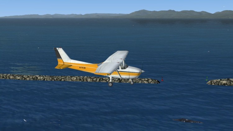
After landing we had the plane moved to another friend's camping trailer for a once over and maybe let ourselves be taken in by the pretty cook and a bit of a Barby (Fig 23) as my friend looks out of the trailer and suggests a spot of No. 5 to clear our dry throats..

-
After a stop at the Gentleman's Necessary and a visit to the office to file our next flight plan to Sekiu we were off.
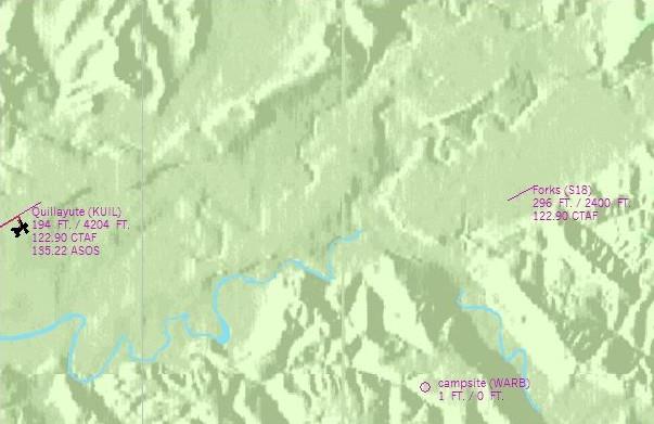
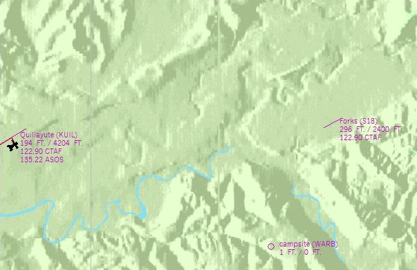
The slicker wanted to look over some Real Estate and I suggested that there was a spot nearby that had been used for Camping but that I also wanted to stop at the Forks to visit an old friend who had set up a eatery there (Fig 12).
We took off and past over the campsite but there was no much going on and the slicker thought the area nice but a bit too remote for his liking (Fig 13). After turning back towards the Forks and planning on a straight in I spotted something unusual (Fig 14).
After landing a quick stop by the hanger was in order before my visit to the diner (Fig 15). Looking at the results of the last plane that tried to land on that runway I was glad that I did a circuit and came in on the other runway.
My old friend was happy to see me and the slicker was happy to try out a local fish burger (Fig 16).
We then took off and headed inland a bit to look at a potential cottage spot near Pleasant Lake (Fig 17).... cont'd
-
After taking the map shot we flew up the river a bit just to investigate how to get there. Again it looks like a job for the floats (Fig 7).
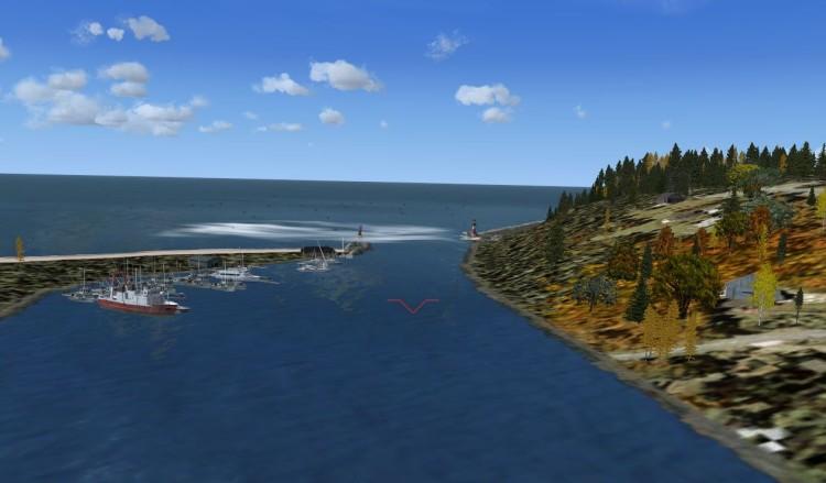
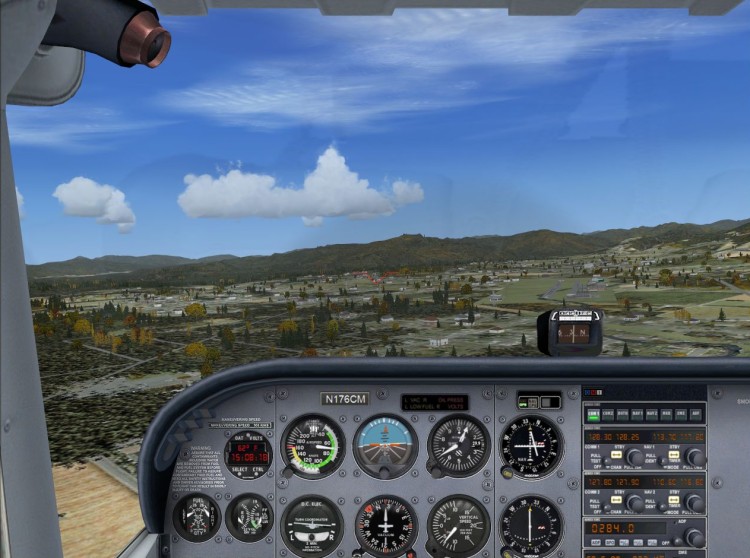
Once we were back on our way northward we kept to 300 feet and tried to spot anything interesting along the beaches. We were happy to find a marina (Fig8) and after checking my instructions decided that this was where we needed to turn inland to land at Quillayute so we did a left circle and climbed to 600 feet. After a while we spotted an airport and as that was the only one there decided it had to be the one (Fig 9). After landing we shut down for a break (Fig 10) and showed the office where we had been so far (Fig 11).

-
It all started out rather quietly with a phone call that awakened the gophers nearby the cabin.
Happy Valley is normally pretty quiet except when the week-enders come along and disturb the tranquility
and this was no exception. I was resting from my hard work back at Emma trying to clear the dunes that those
new folks had pushed into the area and decided to spend a week or two taking the air.
Seems one of those city types wanted an weekend excursion and the flight club thought I was simply too laid back
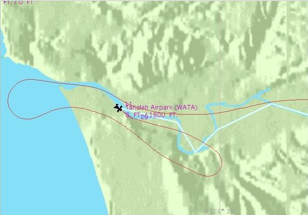
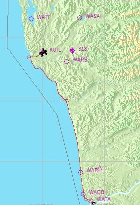
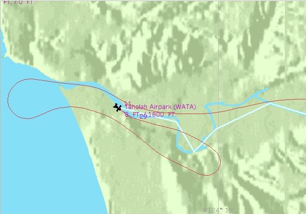
and decided to pick on me to show the coastal beauty. As they had previously provided this tourist with a trip from Lake Quinault all the way to the coast I was asked to pick him up at a small airstrip in Taholah.
Now not having ever been there was not going to be a problem as I had clear indications from one-eye as to how to get there. The airstrip would have to be another matter. I was to pick up a list of spots to show and some other places to stop along the way. I was told that the pay would be exceptional and all fuel and maintenance costs would be done up front. they also wanted me to take some pictures for their album so I have included them here.
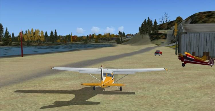
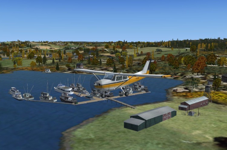
It was a nice Saturday so I said yes and after getting the plane ready I took off, flew along the river and eventually saw the ocean (Fig 1). Obviously there was no landing strip there so I circled the town (Fig 2) and spotted something that might be a place to land. After landing and looking back I wondered if maybe it would have been easier to land from the other direction (Fig 3) but half slipping onto the runway was sort of fun.
After picking up the passenger we took off and headed past the beach and up to Tunnel Island (Fig 4). I took a note of the location as that seems a good spot for a fishing derby. Seems that I might have to use the floats to get into this place.
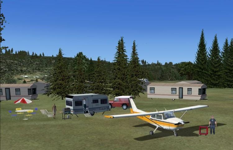
As we took in the scenery and the coast line my passenger spotted a bunch of campers near the shore (Fig 5). So we decided to circle and have a closer look but I used my handy digital camera to grab a spot of where this place was for future reference. (Fig 6).
-
Just leave a little place where I can put my C172 to make sure the other pilots are safe. I could leave it in my hanger over across the way at the Club and take off from over there. :wink:
-
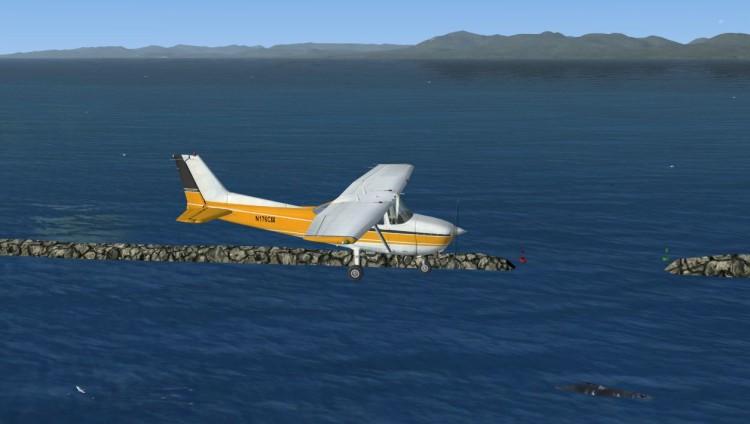
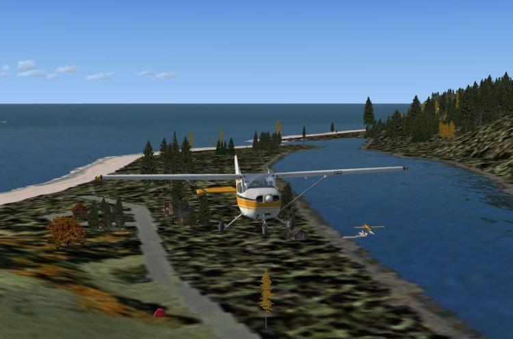
Approaching a rather large body of water from the river while trying to discover a suitable landing place.
I wonder what all those birds are looking? Seems there is something going on in the water down there.

-
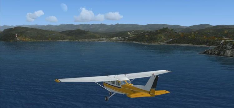
:wink: Did not want to give away the location now that I have found it.
-
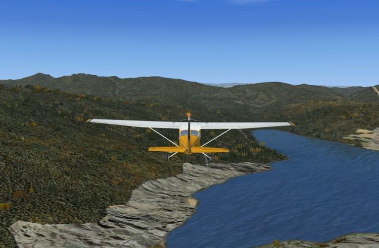
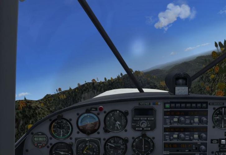
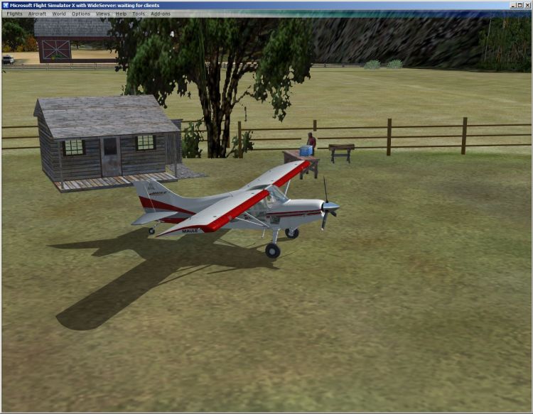
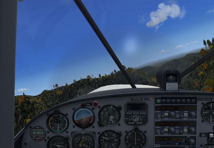
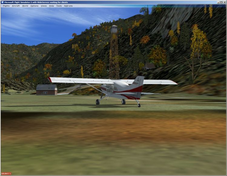
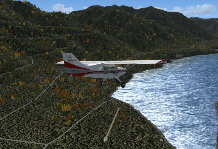
Today was to be a trip from Happy Valley to Bob's Fishing Camp through a new short-cut. The Maule could climb nicely enough to make it so off I went.
I chose what I thought was a relatively safe passage following a river and a mountain road.
After getting over the biggest peak I flew through the valley descending to see the road and river better.
As I ventured further I saw some clearings and wondered what was down there.
I thought I saw a Wabbit down there :shock:
After a brief stop to see the sights I marked this spot on my map for future reference and went on to Bob's place for a cool one.


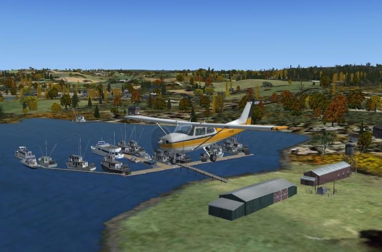
Visting Dexterville FSX
in Emma Field Flying Club
Posted
No problem. I just like to offer my thanks properly whenever I can.
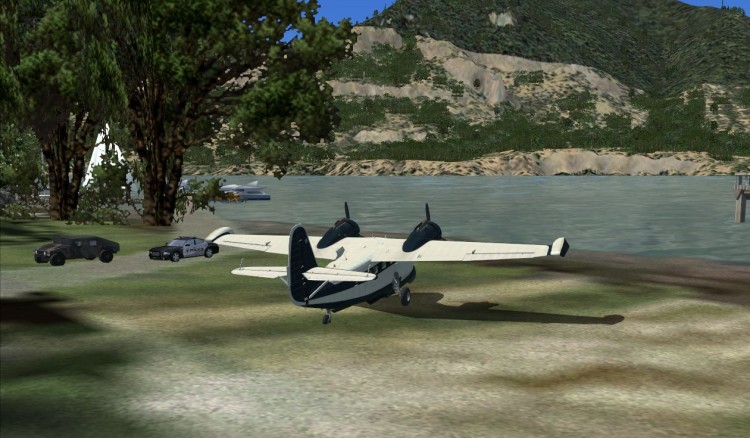
I went back to check the place out on New Years Day and found some visitors hanging around.
Not sure but there may be a conspiracy going on with the Feds.